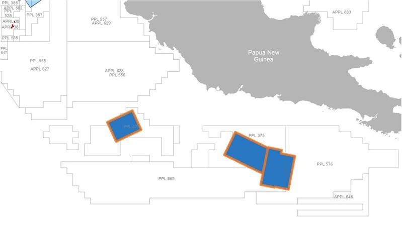
Norwegian seismic data acquisition company PGS has said it has completed the acquisition phase of its Painimaut 3D MultiClient program, offshore Papua New Guinea.
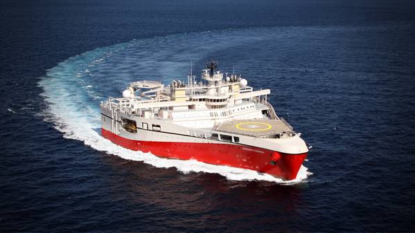
Using its Ramform Hyperion seismic survey vessel, PGS has gathered over 6 100 sq. km of seismic data in Papua New Guinea.
"The Painimaut program targets a number of play types in the under-explored Papuan Basin in both held and vacant acreage. This survey has strong industry funding," PGS said.
The survey, carried out in water depths between 1500 meters and 2000 meters, targets the Tertiary carbonate buildups and Mesozoic rift basins adjacent to the Papuan and Eastern Plateaus, as well as pinch-out plays and drapes over deeper structural highs.
The Ramform Hyperion marine seismic vessel, with a length of 104 meters and an aft beam of 70 meters, towed a 12 x 8 km x 150-meter streamer configuration, with a triple-source, to acquire high-resolution broadband data.
"PGS imaging teams are now processing these results using the latest seismic imaging workflows, including FWI and a full prestack time and depth workflow.
PGS said that fast-track 3D GeoStreamer data is now available, with full integrity, high-resolution GeoStreamer data expected to be available in Q1 2021.
Earlier in April, PGS said that the coronavirus pandemic and the disruption in the oil market presented unprecedented challenges for the offshore services industry, including the marine seismic industry.
The company said at the time it expected the low oil price to have a material adverse impact on demand for seismic services and activity levels, and said it would cost cuts, including cold stacking of vessels.
PGS said it would cold-stack two of the eight currently operated 3D vessels early in Q2, after completion of current projects. It did not say which vessels exactly would be stacked.
 Map by PGS


