Sonardyne reports successfully providing remote Fusion 2 survey operations capability on a live subsea construction campaign in the U.S. Gulf of Mexico.
Using its new Remote Operations Access Module (ROAM), Sonardyne surveyors based in the UK were able to remotely access and operate the Fusion 2 survey and construction software onboard Subsea 7 vessels in the Gulf of Mexico, significant from the Sonardyne perspective as it de-risks the upgrade to Fusion 2, mitigating international travel restrictions road blocks.
Fusion 2 is designed to streamline offshore field development operations by reducing the time and capital expenditure needed to undertake survey and construction tasks, combining traditional Long BaseLine (LBL) and inertial navigation system (INS) techniques in one, enabling the ability to perform real-time simultaneous location and mapping (SLAM) calibration of sparse seabed transponder arrays.
ROAM is a portable communications link in a box which can operate over satellite or any other available network, such as 4G/5G and vessel Wi-Fi, providing secure access between Sonardyne engineers and any vessel needing remote expert assistance.
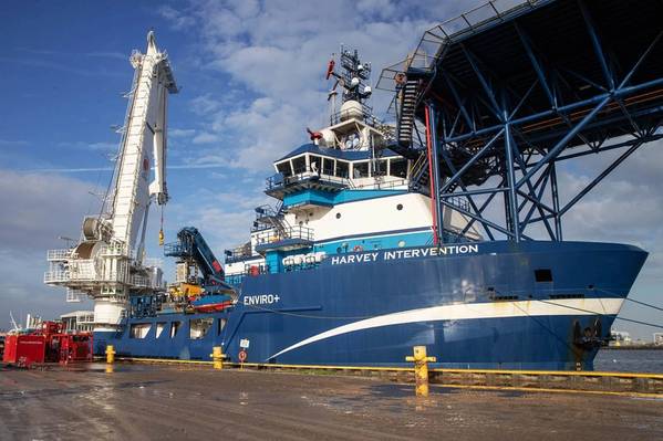
The remote operations service was provided last summer during a deepwater campaign on the Mad Dog Phase 2 project in the U.S. Gulf of Mexico, where Subsea 7 onboard surveyors were able to undertake remote training in Fusion 2 prior to deployment. Using ROAM, Sonardyne surveyors working onshore in the UK were able to work shifts alongside their counterparts onboard the vessel in Fusion 2, supporting live positioning operations and taking secure control if required.
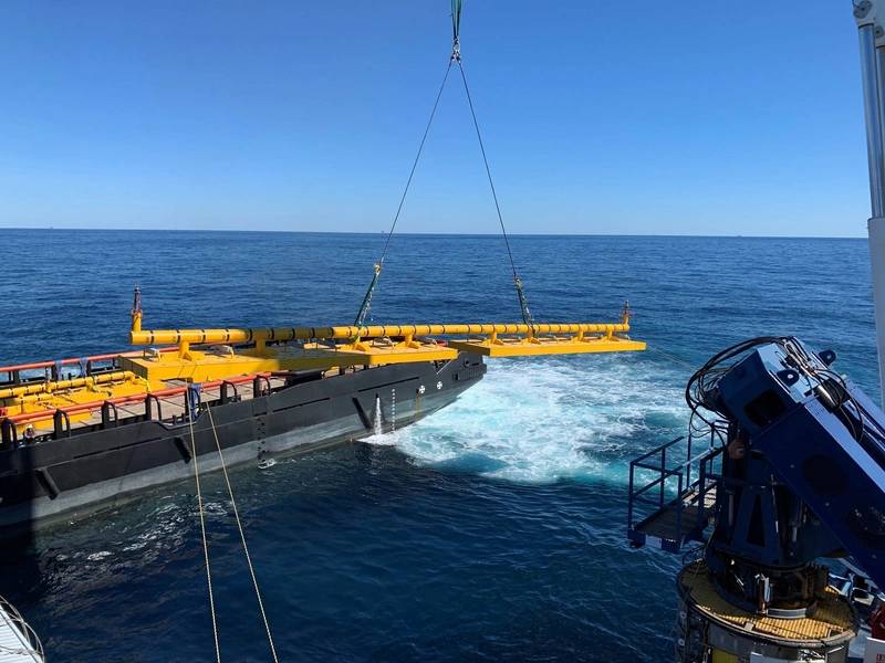
 Structures being installed during the Mad Dog construction campaign. Image from Subsea 7