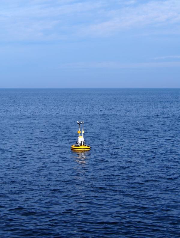
U.S. offshore wind developer Atlantic Shores Offshore Wind will next month launch two buoys that will collect critical atmospheric and weather data, and track the migration of species of birds, fish, turtles and other animals that have been nanotagged by researchers.
Atlantic Shores - a U.S. joint venture between Shell and EDF - said Wednesday that each buoy would be deployed in the offshore wind developer’s Lease Area off the coast of Atlantic City to strengthen atmospheric models that help inform how the developer designs and estimates energy production for their proposed project.
Some data collected will also help deepen research of the Mid-Atlantic Cold Pool as well as help study animal migration and stop-over activities to inform the development of offshore wind in the area, the company said.
The buoy deployment is the latest stage of progress for Atlantic Shores as the company continues to study its Lease Area for the eventual build-out of over 3 gigawatts of offshore wind.
While progressing its portfolio of projects, the developer continues to work with state universities conducting atmospheric and migration research off the New Jersey coast.
Last year, Atlantic Shores and Rutgers University Center for Ocean Observing Leadership (RUCOOL) collaborated on the installation of a wind LiDAR (light detection and ranging) instrument alongside the causeway leading to the Rutgers University Marine Field Station in Tuckerton, New Jersey.
RUCOOL will use some of the data collected from the upcoming buoy deployment and the ongoing wind LiDAR installation to evaluate the Rutgers University Weather Research Forecasting atmospheric modeling system, the company said.
"The publicly available Lidar data provided by ASOW has allowed us to evaluate and validate the Rutgers University Weather Research and Forecasting (RU-WRF) atmospheric modeling system at wind turbine hub heights off the coast of New Jersey,” said Travis Miles, Ph.D., Assistant Professor, Center for Ocean Observing Leadership, Rutgers University.
“These types of hub-height wind data have historically had very limited availability in the Mid-Atlantic region, and have been critical to improving and developing our wind forecasting capabilities. RU-WRF is not only used for offshore wind research, but it is also actively used to better understand air-sea interactions during Hurricanes, winter storms, and coastal sea breezes. The model and ASOW Lidar buoy data have been used by faculty, graduate, and undergraduate students as both research and teaching tools over the past two years.”
"We are thrilled to progress the study of our Lease Area and provide data to institutions such as Rutgers University,” said Jennifer Daniels, Development Director from Atlantic Shores. “The analysis that students, faculty and our team will conduct is essential to further develop our knowledge of the Lease Area’s atmospheric and ecological conditions. Atlantic Shores leads with science, and we are proud to collaborate with one of the state’s leading academic institutions to deepen the body of research on coastal New Jersey waters.”
“The publicly available oceanographic data provided by ASOW has been an invaluable dataset for validation of and comparison with both data from autonomous underwater vehicle deployments and regional ocean model output,” said Joe Gradone, Ph.D. Student, Center for Ocean Observing Leadership, Rutgers University. “While the temperature and salinity data are used frequently, the subsurface current data, especially reported in real-time, are particularly valuable.”
The buoys will be launched in May 2021 with the atmospheric data collection instruments and this fall the sensors will be added to begin collecting migration and stop-over data of turtles, bird species, fish and other species which may be nanotagged, including bats and large insects. The sensors will collect data on the unique signature emitted by each tag, including animal location, migration speed between points, length of stop-over and other aspects about their behavior and conservation.