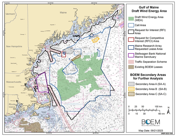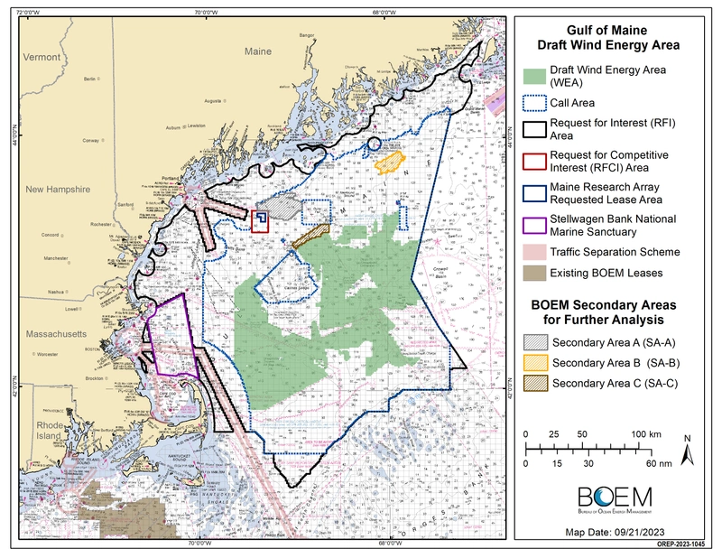
The U.S. Bureau of Ocean Energy Management (BOEM) on Thursday identified a Draft Wind Energy Area (WEA) in the Gulf of Maine, opening a 30-day public review and comment period.
The Draft WEA covers approximately 3,519,067 acres offshore Maine, Massachusetts, and New Hampshire, ranging from approximately 23 - 120 miles off the coast.
“BOEM will continue to prioritize a robust and transparent planning process, including engagement with Tribal governments, federal and state agencies, the fishing community and other ocean users,” said BOEM Director Elizabeth Klein. “BOEM strives to minimize potential impacts and will continue working hard to finalize offshore areas that have strong resource potential and the fewest environmental and user conflicts.”
According to BOEM, the Gulf of Maine has significant opportunities for offshore wind energy development, which will create good-paying jobs and new economic activity, and due to the deep waters within the Gulf of Maine, these areas are also an opportunity "to accelerate U.S. leadership in floating technologies."
The Draft WEA announced Thursday has a capacity of over 40 GW, which exceeds the current combined offshore wind energy planning goals for the Gulf of Maine states: 10 GW for Massachusetts and 3 GW for Maine.
Future adjustments to the Draft WEA will likely be made after incorporating feedback during the comment period, while striving to retain sufficient area to meet the Gulf of Maine states’ planning goals, BOEM said.
"To identify the Draft WEA, BOEM worked collaboratively with the National Oceanic and Atmospheric Administration’s National Centers for Coastal Ocean Science to develop an ocean planning model that identifies and minimizes conflicts with coastal and marine resources and ocean users. BOEM also met with and incorporated feedback from Tribes, fishers, and the public to refine the model and inform the potential offshore locations that appear most suitable for floating offshore wind energy development," BOEM said.
According to BOEM, the Draft WEA avoids Lobster Management Area 1 and all North Atlantic Right Whale Restricted Areas and also avoids other important fishing areas and habitats, including important groundfish areas east of the Western Gulf of Maine Closure and within the 10-kilometer buffer from Georges Bank, Platts Bank, Parker Ridge, and Three Dory Ridge.
In response to initial conversations with Tribal Nations located within Maine, BOEM said that the Draft WEA strived to avoid a majority of the historic and present fishing grounds of those Tribes.
"BOEM will continue to consult with all Tribal Nations and other stakeholders who have an interest in the region to understand their concerns with potential offshore wind energy development and minimize conflicts. BOEM also seeks comments on whether to add all or parts of three secondary areas that were identified for additional analysis but not part of the Draft WEA," BOEM said.
 Credit: BOEM